

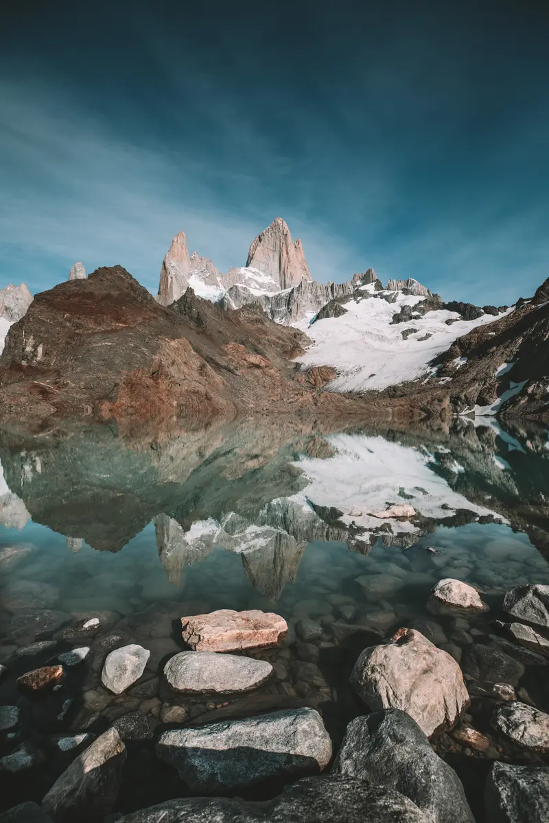
Laguna de los Tres sits at 1,162 m, right below Fitz Roy, inside Los Glaciares National Park. It is the best-known hike in El Chaltén and, for many people, the best day of the trip. You do not need a guide: the trail is marked and well kept. You do need to be fit, start early and check the forecast, because the last hour is hard and Fitz Roy is not always in view.
The numbers
| Route | Distance | Time | Climb |
|---|---|---|---|
| From town, one way | 10 km | about 5 h | 750 m |
| From town and back | 20 km | 8 to 10 h | 750 m |
| El Pilar to town, via the lake | 18.3 km | 8 to 10 h | 880 m |
From town: official Park figures. From El Pilar: measured on our own track.
Two ways to do it
- From town and back
- The trail starts at the end of Avenida San Martín, at the north end of town. You go and come back the same way, past Laguna Capri. It is the simplest option: no transfer needed.
- From El Pilar to town
- A transfer drops you at El Pilar, about 15 km north on route 41. You climb the Río Blanco valley, pass the Piedras Blancas glacier viewpoint and Poincenot camp, do the last stretch and walk down to town past Laguna Capri, never on the same path twice. It is the one we do: you see more and walk less downhill.
Stop by stop
Measured on our own track, starting at El Pilar:
- 0 kmEl Pilar
- 4.8 kmMirador Piedras Blancas
- 5.8 kmPoincenot
- 8.1 kmLaguna de los Tres
- 14.6 kmLaguna Capri
- 17.1 kmMirador Río de las Vueltas
- 18.3 kmEl Chaltén

The last hour
From Poincenot camp it is only about 2 km, but you climb about 450 m. It is a moraine of loose rock with some very steep parts. People who reach Poincenot feeling fine usually take an hour for this bit. Go at your own pace, use poles if you have them, and save some energy: the way down is just as hard on the knees. In winter, crampons and poles are required.
At the top, once you cross the ridge, the lake appears with Fitz Roy above it. Walk a few minutes to the left along the edge of the moraine and you see Laguna Sucia far below, green, with the glacier hanging above it. Many people do not know and miss it.

When to go, and what time to start
The season runs from October to April. In December there are about 16.2 hours of daylight and no rush; in March and April there is less wind and the forest starts to change colour. Fitz Roy clouds over and clears in minutes: check the mountain forecast the night before and keep the clearest day of your trip for this trail. Starting between 7 and 8 gets you to the top before noon, with time to come down calmly. Read more →
Water, toilets and camps
- Water
- The Park says river and stream water is pure. Bring a bottle and refill on the way. No soap near the water.
- Toilets
- There are dry toilets only at the Laguna Capri and Poincenot camps. None elsewhere on the trail.
- Camps
- Capri and Poincenot are booked and paid per night through the Park’s Friends Association. No fires: stoves only.
The park fee
| 1 day | 3 days | 7 days | |
|---|---|---|---|
| Foreign visitors | $ 50,000 | $ 100,000 | $ 175,500 |
| Argentine nationals | $ 25,000 | $ 50,000 | $ 87,500 |
| Santa Cruz residents | $ 8,000 | $ 16,000 | $ 28,000 |
| Students (Argentine ID) | $ 15,000 | · | · |
Argentine pesos per person, since 1/6/2026. Paid by QR or card; no cash at the booths.
You pay at the booths where the trails start or on the National Parks website. Bring your ID: they ask for it.
With a guide or on your own
You can do it alone, and plenty of people do. A guide makes sense if it is your first time in the mountains, if the forecast is doubtful or if you want to start at El Pilar without sorting out transfers. We head out almost every day, in groups of up to 8, with guides who live in town and carry a radio.
 Laguna de los Tres18.3 km · +880 m · 8 to 10 h · from USD 228
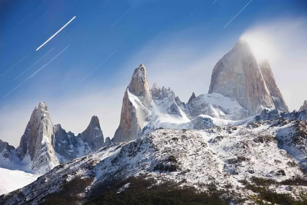 Laguna de los Tres Sunrise Trek18.3 km · +880 m · 8 to 10 h · from USD 295
Going on your own? Read what is worth knowing before you go without a guide. See →
Questions
How long is the Laguna de los Tres trail?
From town it is 10 km one way and 20 km there and back. From El Pilar to town via the lake it is about 18 km.
How long does it take to reach Laguna de los Tres?
About 5 hours one way from town, according to the Park. For the whole day allow 8 to 10 hours.
Is the Laguna de los Tres hike hard?
Most of the way is gentle. The last hour, from Poincenot, climbs about 450 m up a steep moraine of loose rock: that is the hard part.
Where does the trail start?
At the end of Avenida San Martín, at the north end of town. The other option is to start at El Pilar, about 15 km north on route 41.
Do you have to pay to hike Laguna de los Tres?
Yes, the Los Glaciares National Park fee. You pay by QR or card at the booths or on the National Parks website.