

Laguna Torre sits at 636 m, at the foot of Cerro Torre (3,128 m), inside Los Glaciares National Park. It is the other great classic of El Chaltén and the easiest of the long ones: it has almost no steep climbs. What it does have is wind, because the valley looks straight at the Ice Field. And Cerro Torre often hides in the clouds, so it pays to choose the day well.
The numbers
| Route | Distance | Time | Climb |
|---|---|---|---|
| From town, one way | 10 km | about 3 h 30 | 250 m |
| There and back, our track | 16.6 km | 7 to 8 h | 500 m in total |
| To the Maestri viewpoint, one way | 12 km | about 4 h 30 | 300 m |
One way from town and the Maestri viewpoint: official Park figures. There and back: measured on our own track.
Where it starts
Careful, some websites get this wrong: the Laguna Torre trail does not start at the same place as Laguna de los Tres. It starts on the west side of town, at the end of Los Charitos street, by Avenida Llao Llao. It is signposted, and within minutes you are climbing the slope.
Stop by stop
Measured on our own track, from town:
- 0 kmEl Chaltén
- 0.9 kmMirador Cascada Margarita
- 2.8 kmMirador del Torre
- 7.9 kmDe Agostini
- 8.3 kmLaguna Torre
Almost all the climbing is in the first part, up to the Mirador del Torre, where the peak appears for the first time. After that the trail runs along the Río Fitz Roy valley, through forest and wet meadows, almost flat. The last metres cross De Agostini camp and climb onto the moraine: suddenly you have the lake, the icebergs and the Grande Glacier falling into the water.

The Maestri viewpoint
If you arrive with energy and good weather, you can carry on along the moraine beside the lake to the Maestri viewpoint: about 2 km more each way, according to the Park. It is rocky and usually very windy, but the view of the glacier is much closer. Come back the same way.

When to go
October to April, like everything in El Chaltén. Laguna Torre is a good choice when there is high cloud over Fitz Roy: the trail is lovely anyway, and the lake with its icebergs does not depend on the summit being clear. In a strong westerly, the lake gets very cold; bring a real warm layer even if it is warm in town. Read more →
Water, toilets and camp
- Water
- There are streams on the way; according to the Park, the water is pure. Bring a bottle.
- Toilets
- The only dry toilet is at De Agostini camp, near the lake.
- Camp
- De Agostini is booked and paid per night through the Park’s Friends Association. No fires.
The park fee
| 1 day | 3 days | 7 days | |
|---|---|---|---|
| Foreign visitors | $ 50,000 | $ 100,000 | $ 175,500 |
| Argentine nationals | $ 25,000 | $ 50,000 | $ 87,500 |
| Santa Cruz residents | $ 8,000 | $ 16,000 | $ 28,000 |
| Students (Argentine ID) | $ 15,000 | · | · |
Argentine pesos per person, since 1/6/2026. Paid by QR or card; no cash at the booths.
With a guide or on your own
It is a clear trail and you can do it alone. With a guide you add the story of Cerro Torre (one of the most argued-about peaks in climbing), the names of what you see and someone watching the weather for you. We walk straight out of town, no transfer.
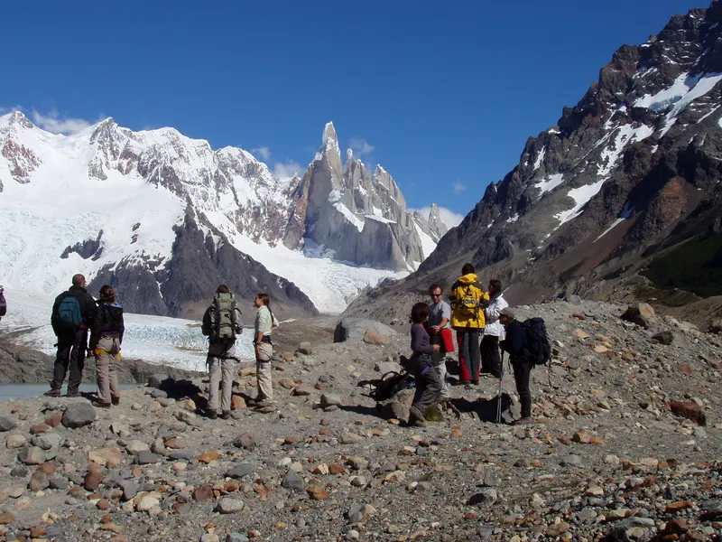 Laguna Torre16.6 km · +500 m · 7 to 8 h · from USD 203
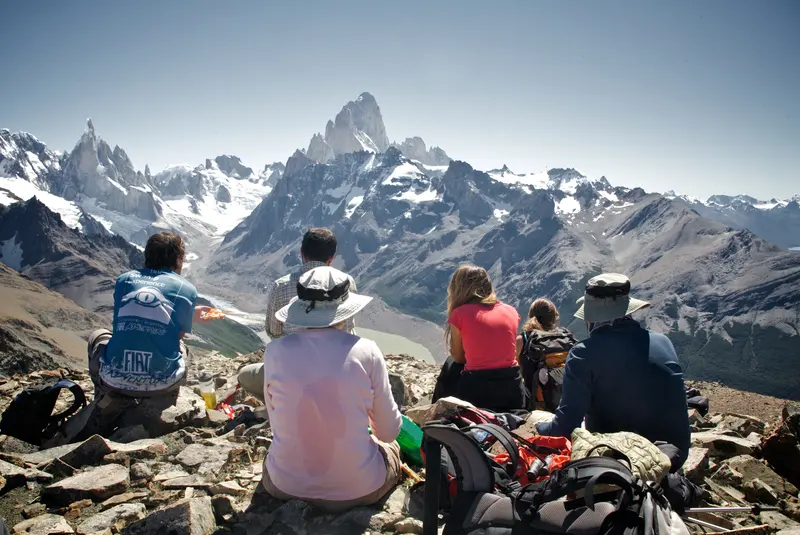 Loma del Pliegue Tumbado16.6 km · +1,040 m · 8 to 9 h · from USD 225
Not sure whether to do Laguna Torre or Laguna de los Tres? We compare them side by side. See →
Questions
How long is the Laguna Torre trail?
About 10 km one way according to the Park. On our track, there and back from town is about 17 km.
How long does it take to reach Laguna Torre?
About 3½ hours one way. With stops, the full day takes 7 to 8 hours.
Is the Laguna Torre hike hard?
It is moderate: about 250 m of climbing one way, mostly in the first hour. The rest is flat. The hardest part is usually the wind at the lake.
Where does the Laguna Torre trail start?
On the west side of town, at the end of Los Charitos street, by Avenida Llao Llao. It is not the same start as Laguna de los Tres.
Can you see Cerro Torre from the lake?
On a clear day, yes, above the lake and the Grande Glacier. Often the summit is in the clouds: check the forecast before you go.