
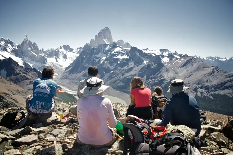
Loma del Pliegue Tumbado is a ridge about 1,500 m high, southwest of town. From the top you see the whole massif head-on: Fitz Roy, Cerro Torre, Laguna Torre below and the Río de las Vueltas valley. There is no lake at the end and no glacier beside you: the reward is the view. It is a long day, almost all uphill, and the last stretch is open ground where the wind hits hard.
The numbers
| Route | Distance | Time | Climb |
|---|---|---|---|
| From town, one way | 10 km | about 4 h | 1,000 m |
| There and back, OpenStreetMap route | 16.6 km | 8 to 9 h | 1,040 m |
One way: official Park figures. There and back: measured on the OpenStreetMap route, approximate.
Where it starts
At the south end of town, near the Park Visitor Centre, next to the trail to the Los Cóndores viewpoint. The first kilometres are shared with the way to Laguna Toro, which carries on toward the Ice Field; the junction is signposted. Stop at the Visitor Centre first: they tell you how the trail is.

What the trail is like
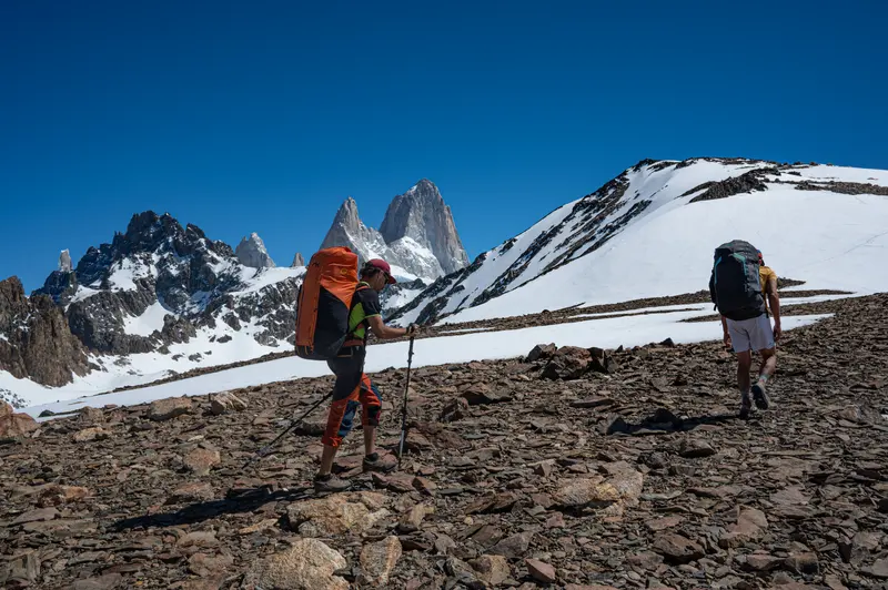
It first climbs through steppe and lenga forest, with Fitz Roy slowly appearing behind you. Then the forest ends and the alpine ground begins: rock, short grass and a lot of sky. That last part is the most exposed. In strong wind you walk leaning into it and it is cold even in sunshine; on a very windy day it is better to stop lower down and enjoy the view from there.

What you see from the top
It is one of the few viewpoints where Fitz Roy and Cerro Torre fit in the same photo, with Laguna Torre below. The other way, the Río de las Vueltas valley and the town. On the way back down, El Chaltén appears whole from above.

Before you go
- When
- November to April. Pick a day with little wind: up there it is far stronger than in town.
- Water and food
- Bring plenty of water and food for the whole day: it is nearly all uphill.
- Toilets
- There are no toilets on this trail.
- Warm layers
- Windproof jacket, hat and gloves, even if it is warm in town.
- Fee
- It is inside the National Park: the entrance fee applies.
| 1 day | 3 days | 7 days | |
|---|---|---|---|
| Foreign visitors | $ 50,000 | $ 100,000 | $ 175,500 |
| Argentine nationals | $ 25,000 | $ 50,000 | $ 87,500 |
| Santa Cruz residents | $ 8,000 | $ 16,000 | $ 28,000 |
| Students (Argentine ID) | $ 15,000 | · | · |
Argentine pesos per person, since 1/6/2026. Paid by QR or card; no cash at the booths.
With a guide
We walk it with groups of up to 8, straight out of town. The guide watches the wind all day and decides how high to go: on this hike that call matters most.
 Loma del Pliegue Tumbado16.6 km · +1,040 m · 8 to 9 h · from USD 225
 Loma de las Pizarras21.9 km · +1,390 m · 10 to 12 h · from USD 270
Questions
How long does Loma del Pliegue Tumbado take?
About 4 hours up according to the Park. There and back, the full day takes 8 to 9 hours.
Is Loma del Pliegue Tumbado hard?
It is demanding: about 1,000 m of climbing and an open last stretch, very exposed to the wind. You need to be fit.
Where does the Loma del Pliegue Tumbado trail start?
At the south end of town, near the Visitor Centre, next to the trail to the Los Cóndores viewpoint.
What do you see from Loma del Pliegue Tumbado?
Fitz Roy and Cerro Torre together, head-on, with Laguna Torre below and the Río de las Vueltas valley.